
OceanGrafix is your source for print-on-demand Groundwater Atlases by county for the Minnesota Department of Natural Resources.

Shop County Groundwater Atlases
Our atlases include printed reports and/or plates providing information about the groundwater resources of a county.


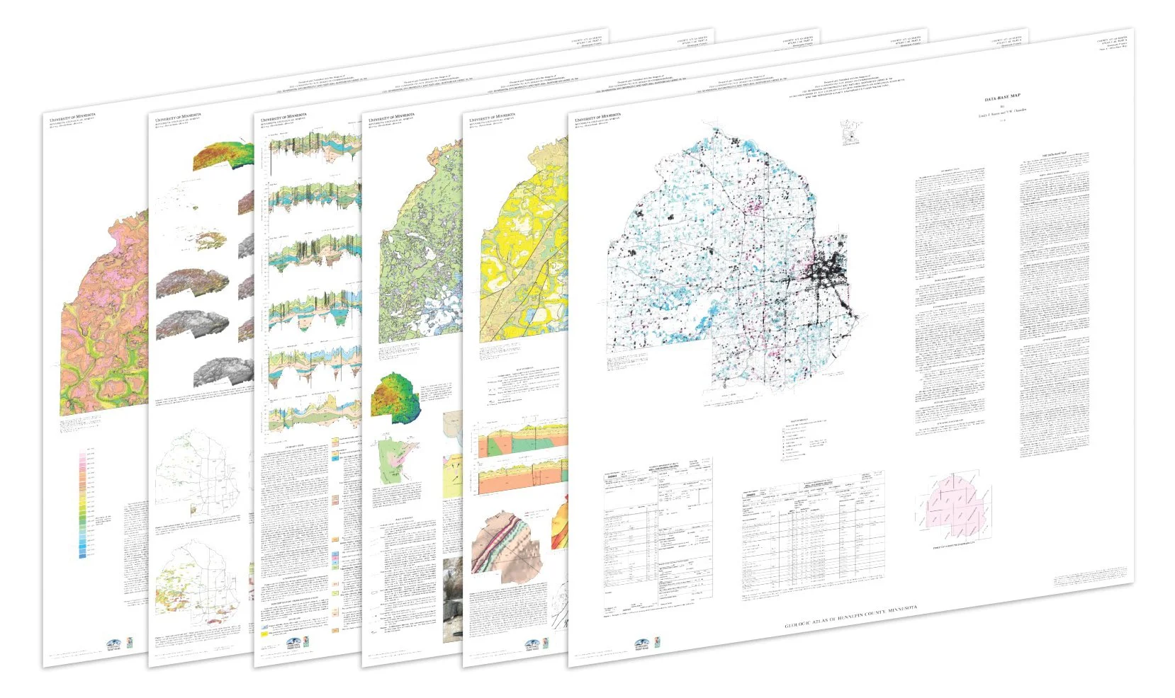
Geologic Atlases
The Minnesota Geological Survey produces the Part A atlas, which includes the geology, sand distribution, bedrock topography, and depth to bedrock.
What we do
OceanGrafix is your source for print-on-demand Groundwater Atlases by county for the Minnesota Department of Natural Resources.
For over a decade, OceanGrafix has also worked as an experienced printer to provide boaters with a vast selection of charts to help them navigate safely. In order to ensure that boaters always have the most up-to-date charts, Nautical Charts Online offers print-on-demand OceanGrafix charts.
The atlas includes the following pieces, printed by OceanGrafix. Atlas contents:
Part B Groundwater/Hydrogeology: 2016
Plate 7 - Water Chemistry 18x25
Plate 8 - Hydrogeologic Cross Sections 24x30
Plate 9 - Hydrogeologic Cross Sections 18x30
These county atlases are provided by the Minnesota Department of Natural Resources.
The Minnesota DNR produces the Part B atlases (Groundwater), which includes plates and reports identifying the direction of groundwater flow, aquifer properties, groundwater chemistry, and pollution sensitivity of aquifers. In older atlases the groundwater information is included in Part A (Geology, published by the Minnesota Geological Survey). See the Groundwater Atlas User Guide (PDF) for an overview of reading Part B (8 pages) and digital versions of the atlases at mndnr.gov/groundwatermapping.